Cyclone Murasu formed over the Bay of Bengal on Sunday, 1 November 2026. The India Meteorological Department (IMD) said a deep depression became Cyclonic Storm Murasu at 11:30 AM IST. Southern Odisha is on high alert, and the Andhra Pradesh coast is expected to be the crossing area.
Cyclone Murasu: key facts
- Formed: 11:30 AM IST, 1 November 2026, over the southwest and adjoining west-central Bay of Bengal
- Expected strength: a very severe cyclonic storm with winds of 100 to 110 km/h, gusting to 120 km/h
- Expected crossing: between Nellore and Narsapur on the Andhra Pradesh coast by the morning of 3 November
- Odisha: high alert in southern districts; rain from 2 November, stronger on 3 and 4 November
Latest update: position and timing
In its 11:30 AM IST bulletin on 1 November, IMD placed Cyclone Murasu about 560 km east-southeast of Chennai and 660 km south-southeast of Visakhapatnam. It is moving west-northwest and is expected to become a severe cyclonic storm by the morning of 2 November. Reports give a landfall window from late night on 2 November (around 11:30 PM IST) to early morning on 3 November (around 4 AM IST) on the southern Andhra coast between Nellore and Narsapur. As of the reports used here, the cyclone had not yet made landfall, and we have not found a later bulletin; check IMD for the newest track.
An earlier IMD outlook had projected a weaker system, with sustained winds of 80 to 90 km/h and gusts up to 100 km/h. The latest forecast is 100 to 110 km/h at landfall, with gusts up to 120 km/h. Forecasts can change as the storm develops.
What Odisha is doing
The Odisha government has put southern parts of the state on high alert and ordered people in low-lying and hilly areas to be moved to safer places as a precaution. The Bhubaneswar Met Centre says rain will begin on 2 November and strengthen on 3 and 4 November. A yellow warning for thunderstorms and rain has been issued for 16 districts, while one Odisha outlet reports an orange alert for five districts.
Conflicting reports on landfall
Most reports place the crossing on the Andhra Pradesh coast, while one Odisha outlet’s headline mentions Odisha. Other reports say heavy rain and strong winds could also affect parts of Odisha and Rayalaseema. The track can change as the storm develops, so follow IMD’s official bulletins and your district administration.
Safety checklist
- Follow IMD and state disaster management alerts; avoid rumours on social media.
- Keep a torch, power bank, drinking water, dry food and important documents ready.
- Stay away from the coast, rivers and weak structures during heavy wind and rain.
- Fishermen should not venture into the sea while warnings are active.
Quick answers
Where will Cyclone Murasu make landfall? IMD expects it to cross the Andhra Pradesh coast between Nellore and Narsapur by the morning of 3 November; most reports agree, though one outlet mentions Odisha.
How strong will it be? IMD expects a very severe cyclonic storm with winds of 100 to 110 km/h, gusting to 120 km/h.
Which districts in Odisha are on alert? Southern districts; see official bulletins for the district list.
Questions to think about
- Are coastal communities getting alerts in time and in languages they understand?
- What more can cities and villages do to be ready for back-to-back storms?
- How can people check forecasts without being misled by rumours?
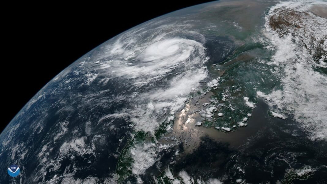
Sources: Deccan Herald, OdishaTV, Daily Jagran, NewsBytes, Business Today, Oneindia and Daily Pioneer reports based on IMD bulletins of 1 November 2026. This is a developing story; follow IMD for updates. The photo is a file image of an earlier cyclone.